alphakamp's avatar
alphakamp
null
npub1e3fl...3mjr
null
alphakamp's avatar
alphakamp yesterday
can't sleep, deep dive down mostr, and global feeds. exploring wot in nostr vault. basically everything is fake and gay. bots everywhere, doing the most pointless shit. oh and weebs everywhere. mostr is basically /b/
alphakamp's avatar
alphakamp yesterday
So block announces dessa, gives examples. Doesn't release it publicly. Privately gives it to some select few. Those influencers get to use it and hype it up. Everyone else forgets about the hype because it die in it's hype cycle because the average person wasn't given access. I hate this corp modern tech bro pattern. I hate it with music too, don't hype and album and drop teasers. Drop the fucking thing
alphakamp's avatar
alphakamp 2 days ago
Nostrvault is wild! A whole new way to explore nostr!
alphakamp's avatar
alphakamp 2 days ago
Here is fun game. Look at the geohash #u0 and look up npubs as see if they do any kind 1 posting. Or any nyms in the bitchat kinds
alphakamp's avatar
alphakamp 2 days ago
I'm doing some convoluted hermes gateway to gateway messaging, because one gateway has the default memory system, the other has honcho. So I'm trying to see if I can the main gateway to retrieve memories from the other gateway. Is this kinda insane? Maybe, probably
alphakamp's avatar
alphakamp 2 days ago
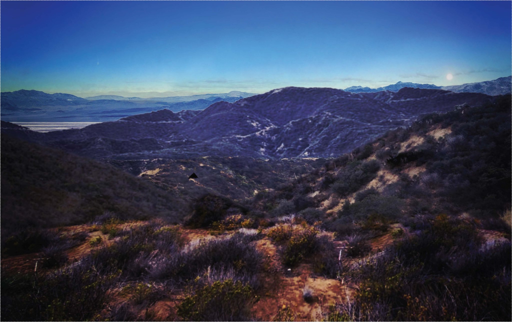
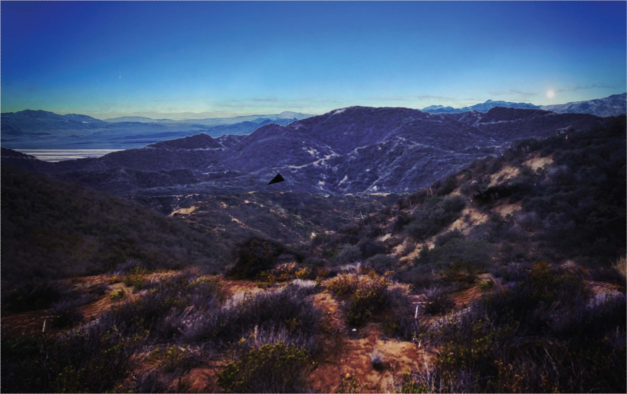
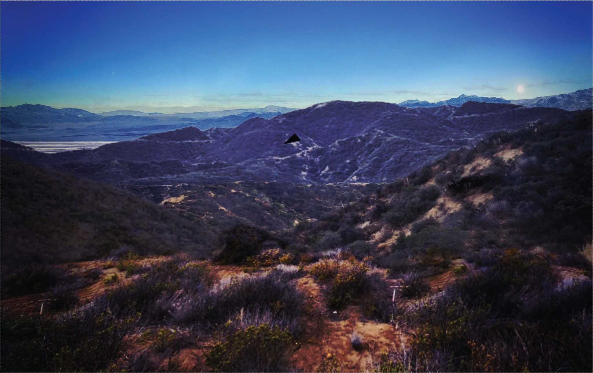
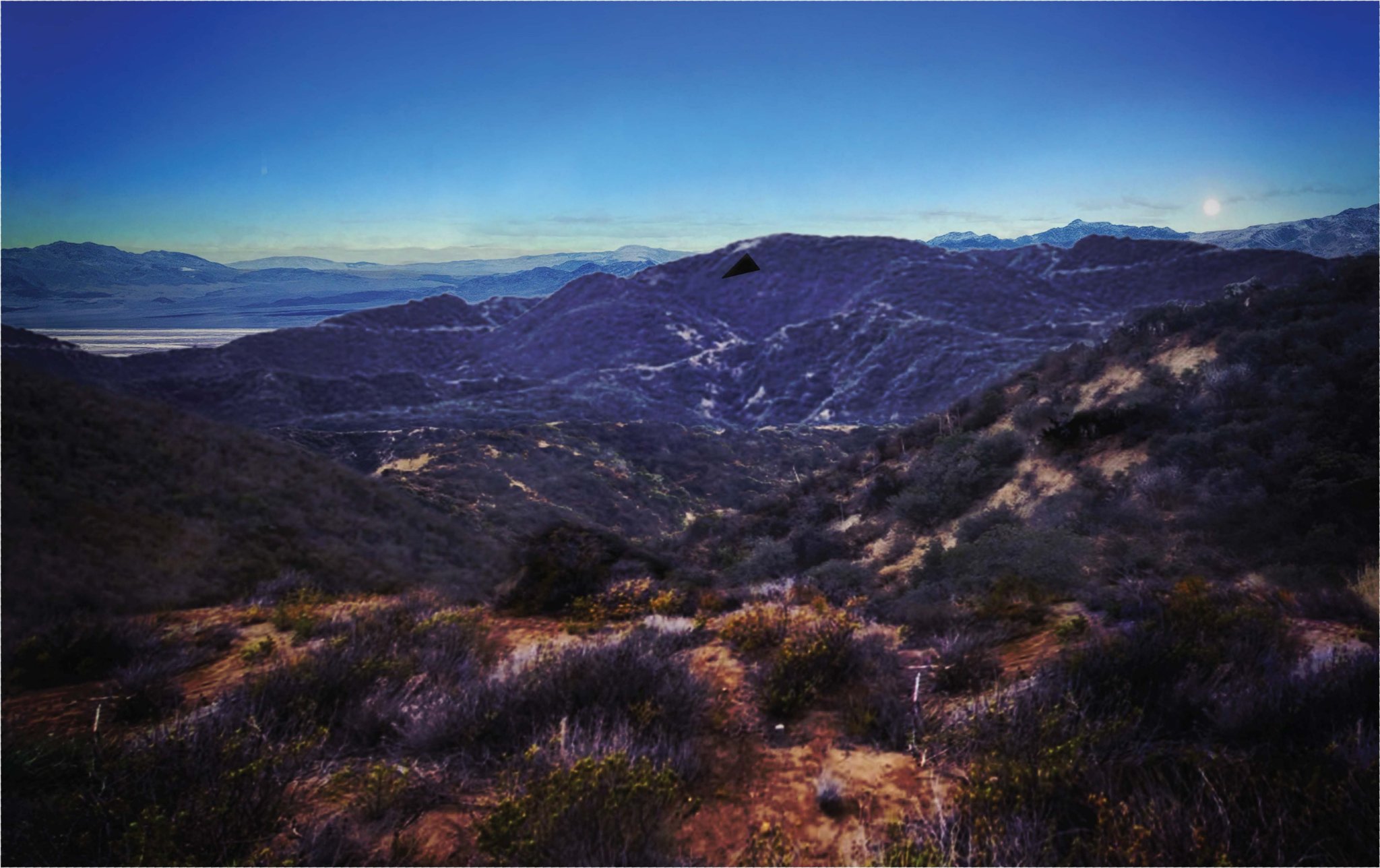
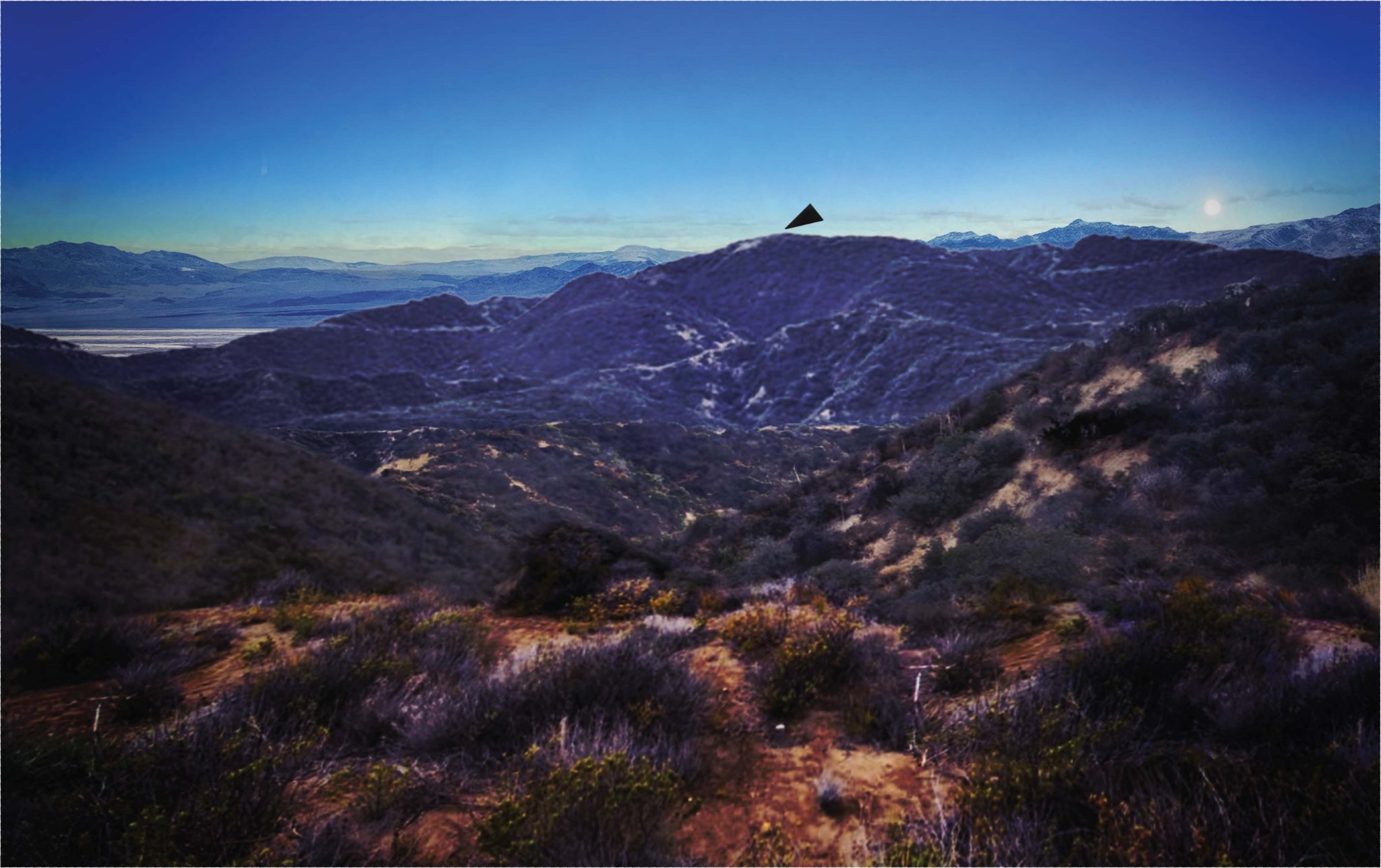
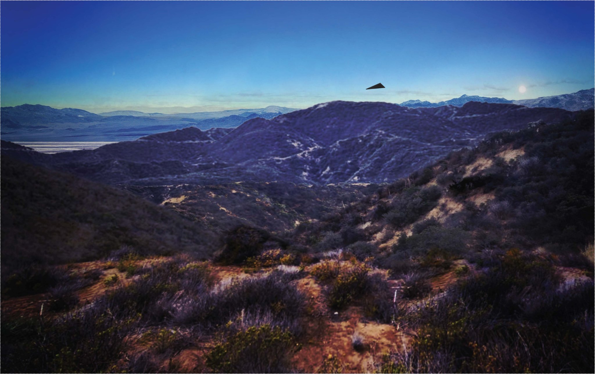
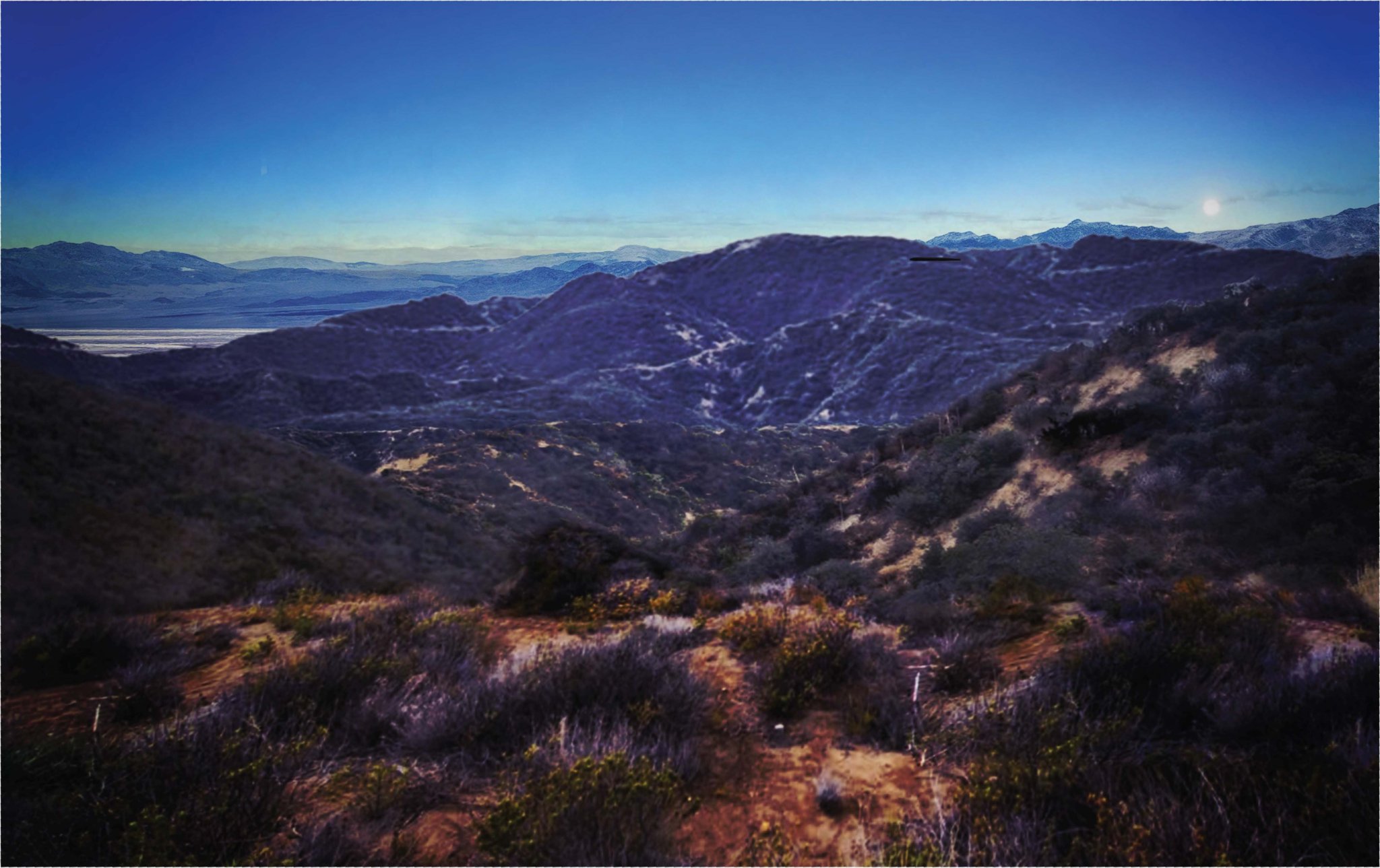
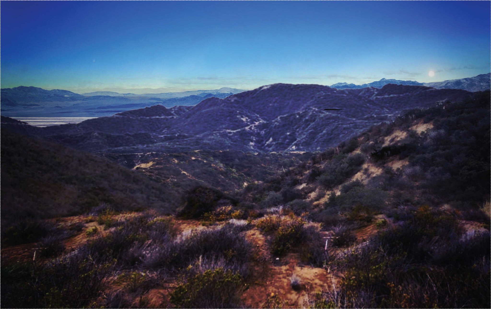
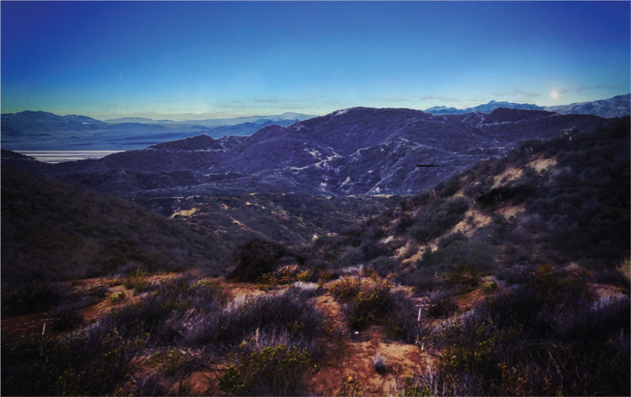
Clanker's analysis Pinpointed. Here's the solution and how it was derived: Geolocation result Camera: 36.410°N, 117.738°W, elevation ~2,185 m — the west flank of the Coso Range, on the eastern shore of (dry) Owens Lake, California — facing 314° (WNW), FOV ≈ 62°. RMS error of the fit: 6.9 px on the skyline. Method Extracted the outermost terrain skyline from the object-free frame (auto-detection kept failing on the HDR-graded image, so I digitized it visually from high-res crops and verified the digitization against the photo) Fetched SRTM elevation tiles covering three candidate regions (Coso/Owens, Panamint Valley, Edwards/Rogers Dry Lake) For ~4,000 candidate viewpoints per region: ray-marched a full 360° horizon profile from the DEM (with earth-curvature correction), then fitted heading + FOV + pitch against the photo skyline with the vertical scale physically locked (fov_v = fov_h / aspect) Winner beat all others: rms 6.9 px vs 7.2 (Panamint) and 8.6 (Edwards) — and it's the only solution whose facing direction (WNW) is consistent with the dusk sun geometry in the report Verification The distance-coded DEM render from the winning viewpoint reproduces the photo's composition: light-toned far terrain (the dry Owens Lake playa) filling the left third, a mid-distance dissected ridge with deep erosion gullies center-right, and closer high ridges at the right edge with the high Sierra crest behind — the snow-dusted peaks on the photo's right are the Sierra Nevada (Olancha Peak area) seen across the lake. Why this makes sense for the case That location is on the boundary of NAWS China Lake — the Coso Range is Navy test land, i.e., precisely a "sensitive national security site in the western U.S." with federal law-enforcement observation posts watching western approach corridors over the lake. The AARO memo's geometry (object 1.4–3.2 miles west, rising over a ridge, descending SE into canyon drainage) is coherent with this vantage. The bright disc at image azimuth ~337° can't be the October sun (sets ~265°) — it's the moon, low in the NNW, consistent with the memo's statement that the sun had already set. Caveats, honestly stated: the fit rests on a hand-digitized skyline of an HDR-crushed image, so treat the position as ±500 m laterally and ±3° in heading; camera height (2,185 m) is taken straight from the DEM at the matched point. But the playa–ridge–Sierra composition plus the China Lake context is a strong, self-consistent fix — this is very likely the Coso Range/Owens Lake eastern shoreline, not a generic desert anywhere. View quoted note →
alphakamp's avatar
alphakamp 2 days ago
What the terrain shows Left/middle distance: a large, flat, light-toned dry lake bed (playa) with a bright reflective band — classic desert playa, bounded by low rolling ranges beyond it Right: a snow-dusted high range with jagged granitic-looking peaks — Sierra-Nevada-character, not a minor local ridge — behind an intervening dark, dissected ridge with visible erosion drainages Foreground: steep, dissected canyon slopes with dense low scrub on sandy soil — Mojave/high-desert transitional scrub, no creosote flats, no structures, no fences Lighting: a bright disc sitting low near the ridgeline on the right. The AARO memo says the sun had already dropped below the horizon with a "residual sunset gradient" — so that disc is most likely the moon rising, or the sun's last sliver, and the camera is facing broadly westward (WSW–WNW), i.e., toward the sunset side. That puts the playa to the S/SSW and the snow range to the W/NW. The pattern to match Camera looking WSW from a high-desert canyon rim: playa to the southwest, snow-capped granitic crest to the northwest-north, Mojave scrub foreground. Best guesses, ranked Owens Valley / dry Owens Lake, California — looking WSW at the Sierra Nevada crest. This is my top guess. From the northeast side of the dry Owens Lake (Coso Range / NAWS China Lake southwestern edge), you'd get exactly this composition: the playa filling the left-center, the Sierra escarpment with snow on the right/center behind a dark intervening ridge, canyon drainages in the foreground. And it fits the story perfectly: NAWS China Lake and the Coso Range are precisely a "sensitive national security site" in the western U.S. with federal law-enforcement observation posts on hilltops watching western approach corridors. Rogers Dry Lake / Edwards AFB area, looking west. The playa would be Rogers Lake and the snow range the southern Sierra/Tehachapi. Also a strong "sensitive site" fit, though the playa should sit more center-frame than far-left from most eastern vantage points. Panamint Valley, looking west at the Sierra from the Panamint Range — right playa/crest geometry, but the intervening ridge depth looks wrong for this. Great Basin alternatives (Dugway, Utah; Skull Valley) — playa + snow range exists there too, but the vegetation reads more Mojave than Great Basin, and the peaks look too high for the Stansburys. Confidence Low-to-moderate, honestly. The heavy HDR grading crushes the geomorphology detail, the foreground is generic high-desert canyon (there are thousands of these), and with the moon-in-frame ambiguity I can't pin the azimuth precisely. But the combination — large playa SSW + major snow-capped granitic crest WNW + Mojave scrub + "sensitive national security site" + federal law enforcement observers — points strongly at the western Mojave/eastern Sierra transition zone, with Coso Range / China Lake as the single best bet. If you want, I can pull DEM/OSM data and try to match the actual ridgeline profile against candidate viewpoints — that would turn the guess into a real fix. View quoted note →
alphakamp's avatar
alphakamp 2 days ago
New uap docs up. Aawsap was looking at ole skinwalker ranch
alphakamp's avatar
alphakamp 2 days ago
Been a hell of a morning. A router on 1u server got upgraded, failed to boot. Turns our raid controllers flash is dead.
alphakamp's avatar
alphakamp 3 days ago
I am evaluating honcho memory plugin for Hermes. Maybe it is slightly better than stock Hermes memory? It has a background synthesis task, that cost tokens though.
↑